You found a gorgeous desert parcel and can already picture the views from your patio. Then someone mentions the “building envelope,” and the dream gets fuzzy. It’s normal to feel unsure at this point. In Tucson and Pima County, a building envelope defines the area where you can actually place your home after applying all the rules and site realities. This guide explains what an envelope is, what causes it to shrink, and how to evaluate any lot with confidence. Let’s dive in.
Building envelope explained
What it means in Tucson
A building envelope is the part of your lot where construction is legally and practically allowed. Think of it as a polygon drawn inside your property lines after you account for zoning setbacks, easements, washes and floodplains, slopes and soils, septic and well areas, native plants, and any design overlays. The envelope is where your home, garage, main grading, and immediate site work can occur without special variances.
Why does it matter on desert parcels?
One acre equals 43,560 square feet, but the usable area is often much smaller in the Sonoran Desert. Washes, steep arroyo edges, protected vegetation, and septic requirements can reduce where you can build. Understanding the envelope early helps you plan a home that fits the land and avoids costly redesigns.
What shapes your envelope
Zoning and setbacks
Your zoning district sets front, side, and rear setbacks, lot coverage, and height limits. Setbacks create a no-build fringe along your property edges. Get the parcel’s zoning designation and the exact setbacks from the governing planning department before you sketch anything.
Easements and rights of way
Utility easements, roadway rights-of-way, and drainage or conservation easements can limit where you place structures. Many easements prohibit building and must remain clear of obstructions. Confirm them through the recorded plat, title report, and parcel map so you know what land is off-limits.
Washes and floodplains
Even small desert washes can be regulated and often require analysis or permits. Floodplain and floodway designations guide the placement of structures, driveways, and utilities and may require engineered solutions. Check floodplain mapping early to avoid planning across a regulated wash.
Slopes and soils
Hillside areas and steep grades often face limits on cut and fill and may require geotechnical review. Expansive soils or erosion risk can shift your practical building area to more stable ground. A topographic survey and soils report help you place the envelope where the land can support it.
Septic and utilities
If there is no sewer, a septic system needs a suitable leach field with setbacks from property lines, structures, and washes. These areas can occupy a significant portion of a rural lot, so reserve space for them outside the envelope.
Native plants and habitat
Mature saguaros, palo verde, and mesquite trees are ecologically significant and culturally valued. Local rules may require permits or mitigation for removal. Mapping notable plants often changes where you build and how you route a driveway.
Overlays, POAs, and view corridors
Special overlays or scenic protection rules can affect height, massing, and siting to preserve views. Private covenants or POA design guidelines may add stricter setbacks or height limits. These controls guide the envelope shape even if they do not fully prohibit building in an area.
Cultural and archaeological resources
In some places, archaeological surveys or cultural resource reviews are required. If sensitive resources are present, you may need to avoid certain areas or conduct additional studies. Plan time for this step if your site falls within a known resource area.
Simple workflow to evaluate a lot
-
Confirm your governing jurisdiction and zoning. Note the parcel’s legal description and any POA or CC&Rs.
-
Order a current boundary and topographic survey that shows contours, washes, utilities, and major vegetation.
-
Request a title report and a recorded plat to identify all easements and rights-of-way.
-
Review floodplain mapping to understand regulated washes and crossing constraints.
-
Check septic suitability and water source options. Confirm the sewer path and required setbacks.
-
Identify notable saguaros and native trees and learn the permitting steps for removal or mitigation.
-
Obtain a soils and geotechnical review if the site exhibits visible slopes or requires major grading.
-
Schedule a pre-application conversation with the local planning and permitting staff to confirm setbacks, coverage requirements, hillside rules, and any applicable overlays.
-
Prepare a simple site plan that shows a candidate envelope and reserves space for septic systems, a driveway, utilities, and plant preservation.
-
If needed, pursue variances or special permits when your preferred siting conflicts with the rules.
Quick buyer checklist
- Jurisdiction and zoning district confirmed
- All recorded easements and encumbrances identified
- Presence of washes or floodplain on the parcel
- Slope percentages and geotechnical needs
- Septic suitability and water source plan
- Native plant permits and HOA design rules
- Utility access and likely easement crossings
- Access and road maintenance agreements for private roads
How to visualize your envelope
A simple, annotated diagram helps everyone see constraints at a glance. Ask your designer to include:
- Parcel boundary with scale and north arrow
- Zoning label and setback lines offset from each property line
- Proposed building envelope shaded as a single polygon
- Example house footprint dashed inside the envelope
- Contours at a clear interval with steeper slope zones highlighted
- Washes and any mapped floodplain are shaded
- Recorded easements labeled with widths
- Septic reserve area and a potential well location with setbacks noted
- Major protected plants are marked and labeled
- Driveway and likely utility routes shown
- A short caption that explains the main constraints that shaped the envelope
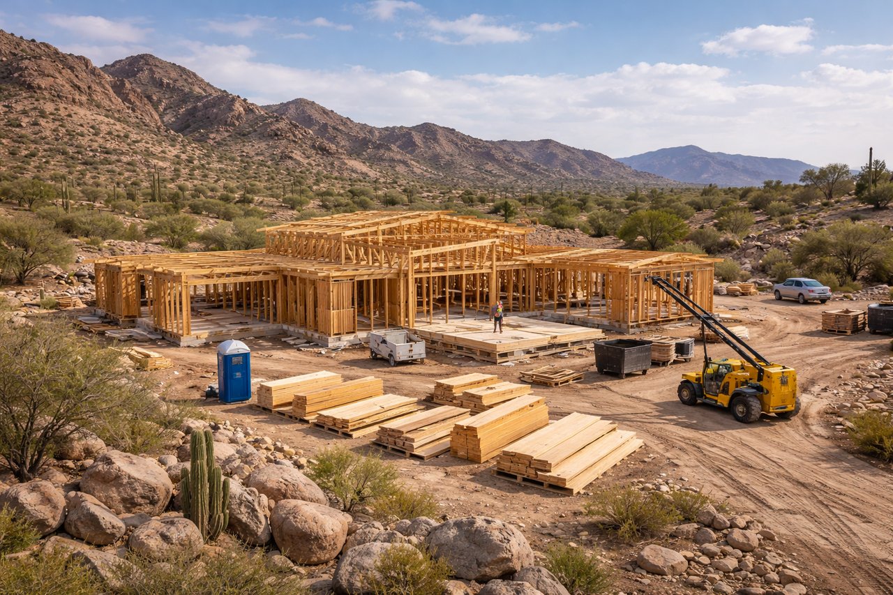
Permits, studies, and timing
You can expect to prepare a survey, geotechnical report, septic design, and drainage plan. Some parcels also need botanical or archaeological review. The typical path is pre-application, plan preparation, application and review, corrections, and permit issuance.
Timeline depends on complexity and location. In-town lots can be processed in weeks, while rural parcels that require septic, floodplain, or hillside reviews often take 2 to 4 months or more before permits are issued. Start early and build in time for revisions.
Smart pitfalls to avoid
- Assuming raw acreage is fully buildable without checking washes, slopes, or plant constraints
- Relying on old plats or sketches instead of a current boundary and topo survey
- Skipping early checks on sewer or water availability
- Overlooking private covenants or POA rules that are stricter than the public code
- Underestimating time and cost for mitigation or special studies
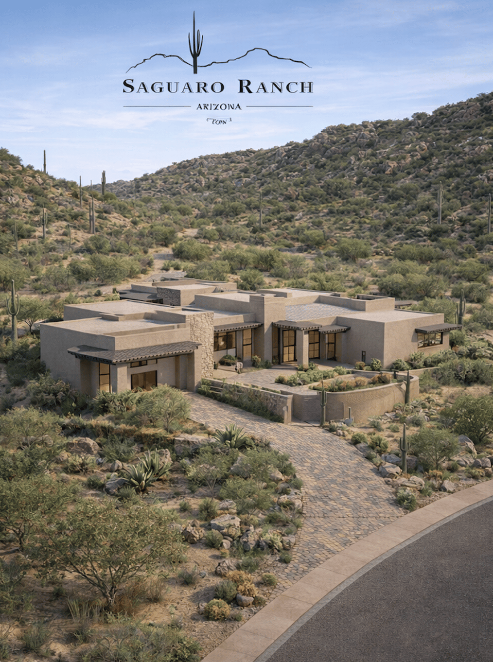
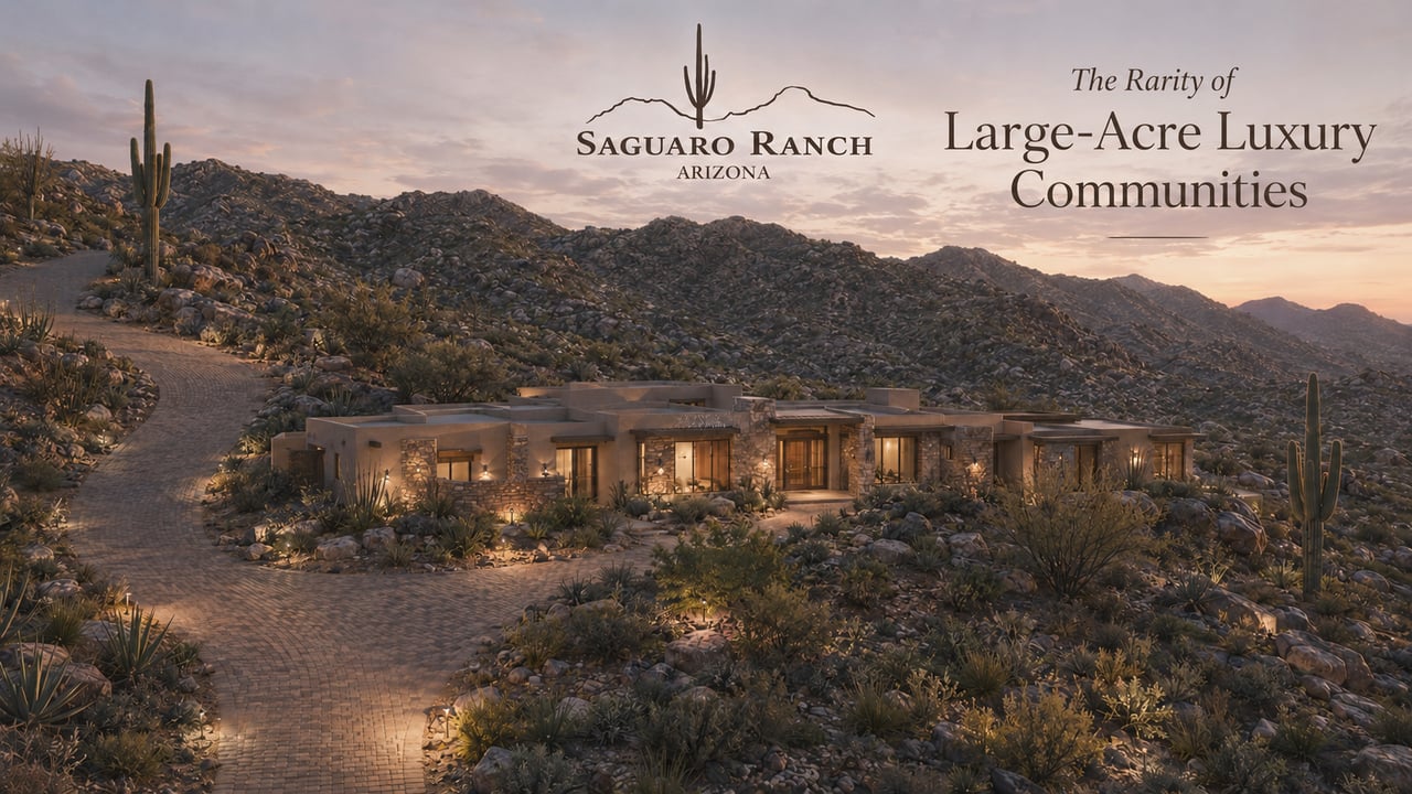
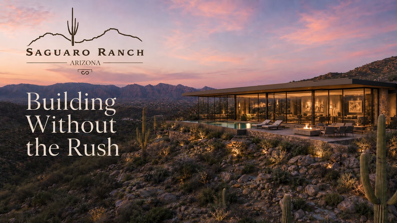
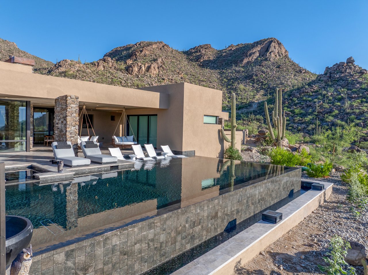
Why envelopes matter at Saguaro Ranch
In the Tortolita Mountains, land and sky shape the experience. A clear building envelope helps you place architecture lightly on the land while protecting views, privacy, and habitat. With a preservation-first plan that keeps most acreage undisturbed and adheres to curated design standards, you can align your vision with the landscape from the outset.
If you are considering a one- to multi-acre homesite, pre-approved plans and endorsed builders can streamline your path while honoring the site’s constraints. Ready to walk the land and talk through your goals? Schedule a Private Visit with the team at Saguaro Ranch.
FAQs
What is a building envelope on a Tucson lot?
- It is the area inside your property where you can legally and practically build after you apply setbacks, easements, washes and floodplains, slope limits, septic areas, native-plant rules, and any overlays.
How much of a 1-acre parcel is usually buildable?
- It varies by site. On desert parcels, the envelope can be a fraction of the lot once you subtract washes, easements, setbacks, septic areas, slopes, and protected vegetation.
Can I remove saguaros to expand my envelope?
- Removal may be regulated and could require permits or mitigation. Inventory significant plants early and consult local rules before planning removal.
Can I build across a wash if I engineer it?
- Building or filling in regulated washes is often restricted and may require special permits and engineering. Do not assume a wash is buildable without official review.
Do slopes prevent building in the Tortolitas?
- Not always, but steeper slopes can trigger geotechnical review and grading limits. A soils report often guides you to flatter, more stable areas for siting.
How do I locate easements that impact my property?
- Review the recorded plat and title report, as well as the parcel map. These documents list utility, drainage, and access easements that remove land from the buildable area.